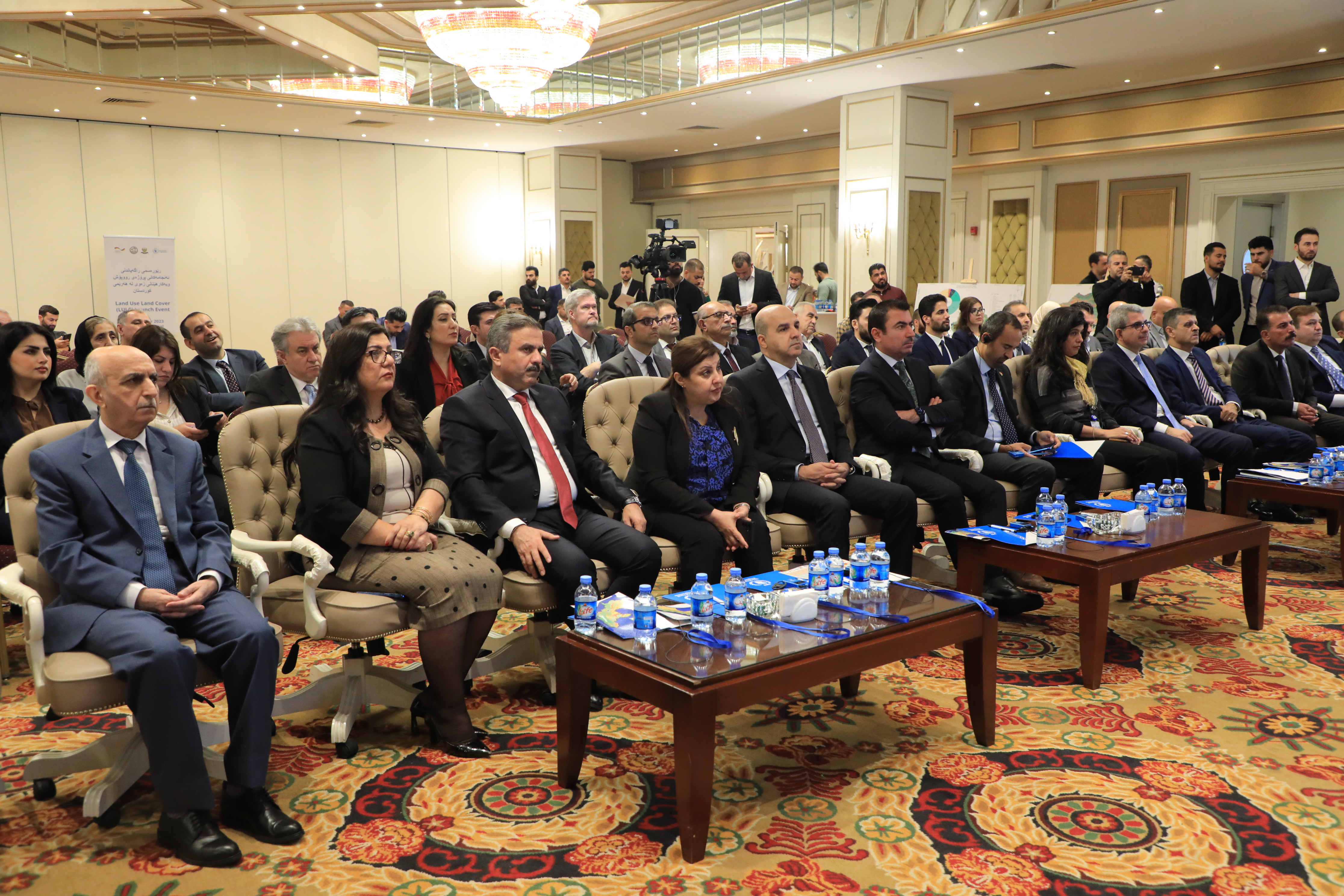
Under the supervision of the Minister of Planning, the result of “Land Use Land Cover classification project” was revealed in an event on Monday 13/11/2023.
The event was attended by Ministers of Municipalities, Agriculture, Acting Consul of Germany in Erbil, the deputy representative of the World Food Program (WFP) in Iraq, the head of the investment board, the head of environment and the head of tourism board, representatives of international and local organizations and foreign delegates and number of advisors, general directors from relevant ministries, directors of statistics in governorates and administrations.
At the beginning of the event, Serwan Mohammad, Deputy Minister of Planning, while welcoming the guests, explained how the idea of this project was established towards the implementation, which lasted for 18 months.
The Minister of Planning made a speech and pointed out to the importance of this project saying: The Land Use and Land Cover of the Kurdistan region is one of the fields that we needed detailed information about.
The acting consul of Germany and the deputy of the World Food Program in Iraq gave speeches, where they referred to their endorsement of the results which will help both governments in Baghdad and Erbil to develop their multi sectoral plans.
The project of Land Use and Land Cover Classification was carried out by Kurdistan Region Statistics Office and the World Food Program (WFP) with financial support from Germany. For this project, Satellite images have been used for the first time in Iraq and Kurdistan Region. Land Use and Land Cover is globally used to know the physical characteristics of the land surface and man-made structures including water body, forest area and its type, vegetation types and grassland area, agriculture land and its type (cultivated and uncultivated area, rain feed and irrigated land), Built-up area (municipalities), and the changes caused by Climate change.